WHAT'S ON THE MAP
Everything you open a map for.
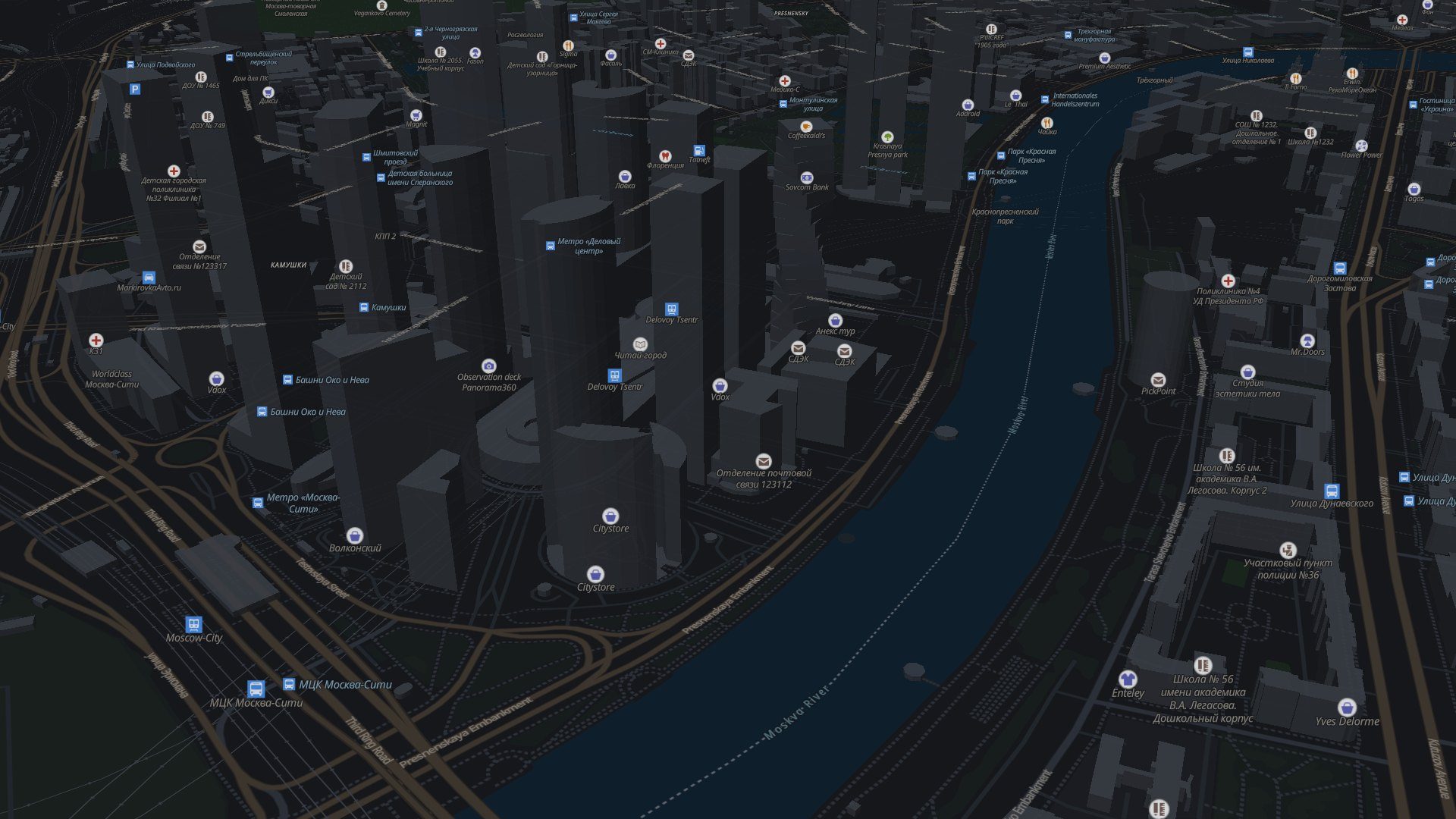
Search a street, a café or a pair of coordinates. Tilt the map and the buildings stand up. Switch to satellite when you want to see the real roofs.
3D buildingsTilt with two fingers or the 3D button. Light and dark styles follow your system.
Satellite viewSharp aerial imagery for the whole planet, one tap away.
Routes four waysOn foot, by bike, by car and by public transport, with turn-by-turn steps.
Places with a storyTap a landmark for its Wikipedia photo and intro, plus photos taken nearby.
Weather on the spotEvery place shows the weather there right now.
Saved and nearbyStar a place to keep it. Chips for cafés, pharmacies, metro and more search around you.
MOVE TO SLIDE THE GLASS
Every street, every turn.
PUBLIC TRANSPORT
Metro, bus, tram, train.
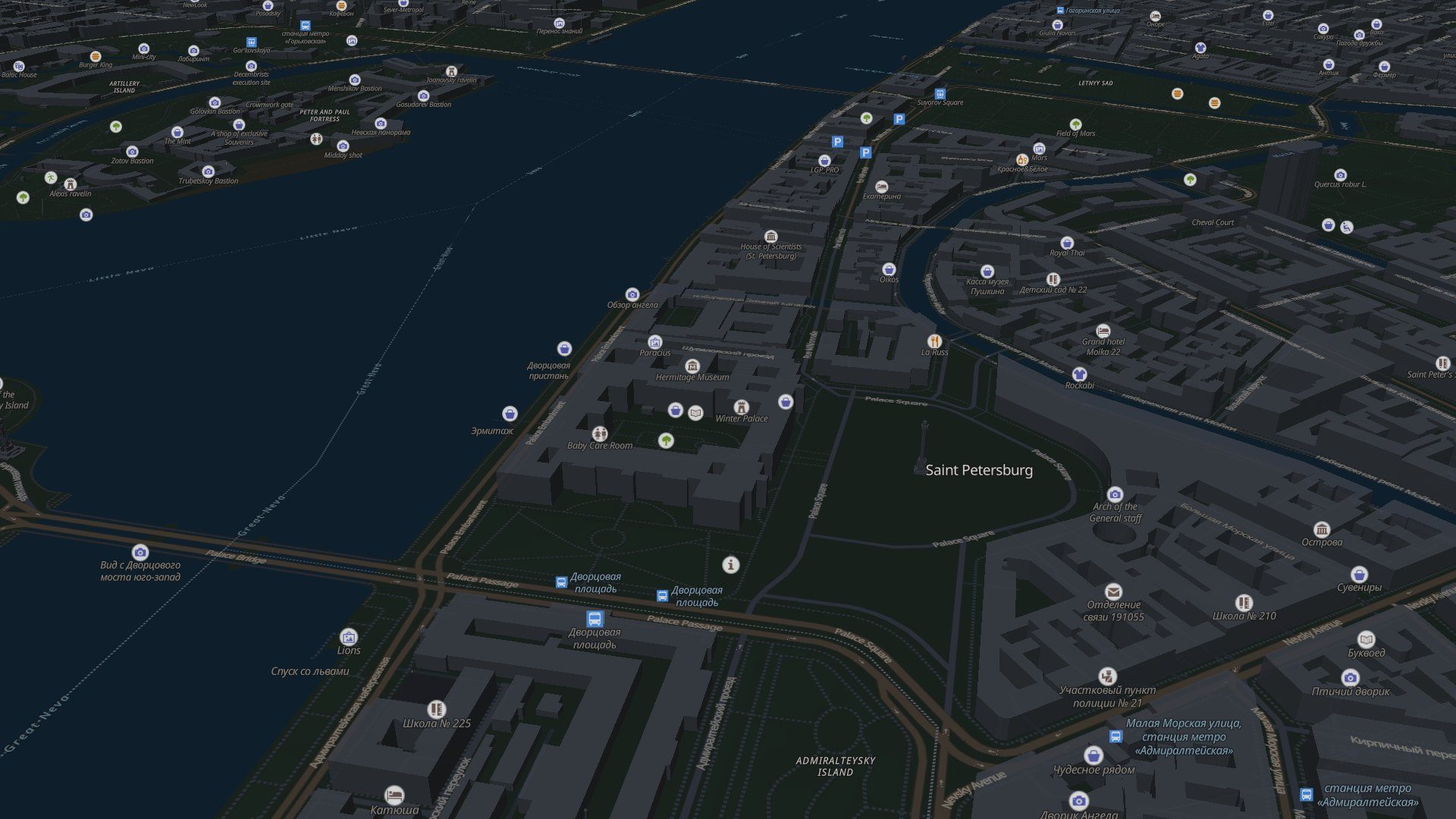
In Moscow and St Petersburg, Yuki Maps plans a trip across every mode: where to walk, which line to take and where to change.
Times come from typical speeds and intervals, not live departures, so treat them as a good estimate. Metro and trains rest between 01:00 and 05:30; night routes take over.
- WalkTo the nearest metro entrance
- MetroRide the line, change where it's quickest
- Bus or tramFor the stretch the metro doesn't reach
- WalkThe last few hundred metres to the door